Ultimate Earth

Ultimate Earth is now only available as a free 3.28GB download (7-zipped).
3D Nature brings the benefits of the Ultimate Earth Data Set to WCS and VNS users.
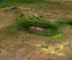
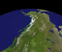
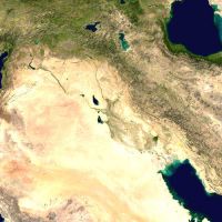
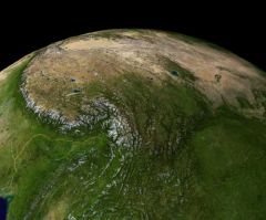
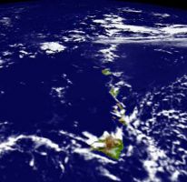
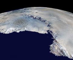
This DVD-ROM contains the best quality, highest resolution collection of terrain, bathymetry, color imagery and cloud maps that we could assemble that covers the entire planet.
Ultimate Earth contains 1-kilometer land mass terrain data, 10-kilometer bathymetry, 1-kilometer color imagery and 5-kilometer cloud map data for the entire globe. The DEM data alone contains well over 939 million data points. The imagery contains over one billion pixels.
This DVD-ROM also contains over a dozen projects that allow you to work with a smaller area of the earth (saves memory and hard drive space) and Components that allow you to apply this image data to your current projects. You can gain more information about Ultimate Earth by viewing the Overview Documentation.

System Requirements
Requires WCS 6 or VNS 2 or 3.
Ultimate Earth is a large and complex data set. We recommend a computer system with multiple gigabytes of memory and a fast processor to be able to efficiently handle the load. Ultimate Earth requires about 4Gb of hard drive space to install and may require as much as 6Gb once fully decompressed. Approximately 7Gb or more hard drive space is recommended.
