3DNature

3D Landscape Design & Visualization Software published and supported by AlphaPixel

Menu

Earth From Space Globe Images

"Earth From Space" 3D Globe Images

A satellite view of Earth showing landmasses, ocean, and cloud formations against the backdrop of space.
3D Nature's "Ultimate Earth" Earth from Space images for print, web and television.

This series of images feature beautiful satellite images of the Earth showing each of the major continents as it would appear when viewed floating in space above the planet. Available both with and without clouds at extremely high resolution, they are already widely used in books, magazines, web sites and television programs around the world. Created from highly-detailed terrain and satellite imagery data, these are some of the best-looking globe images available!

Earth with Clouds
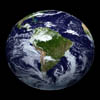
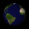
Image of Earth, showing the continents of South America, North America, and Africa, with visible cloud patterns over the oceans. The planet is set against a black background.
S. America
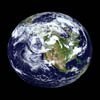
A view of Earth from space, showing North America and surrounding regions, with blue oceans and swirls of white clouds.
N. America
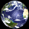
A view of Earth from space, showing the Atlantic Ocean, parts of North and South America, Europe, and Africa under a cover of white clouds.
Atlantic
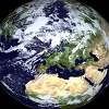
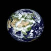
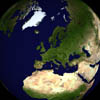
A satellite image of Earth, showing visible continents and bodies of water, partially covered by clouds, with a view focused on Europe, North Africa, and parts of the Middle East.
Europe
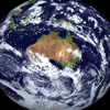
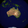
A view of Earth from space, highlighting the continent of Australia surrounded by oceans and cloud formations.
Australia
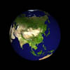
A view of Earth from space, showing continents, oceans, and cloud formations. The planet appears against a black background.
Asia
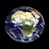
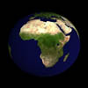
A view of Earth from space showing the African continent, parts of Europe, the Middle East, and the Atlantic Ocean. Cloud formations are visible over western and central Africa.
Africa

Earth without Clouds

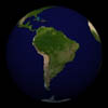
A view of Earth from space showing the continents of North and South America. Green landmasses are visible against the dark background of space.
S. America
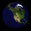
A view of Earth centered on the North American continent. The image shows various landforms and bodies of water, with some cloud cover visible near the Arctic region.
N. America
A view of Earth from space, showing the continents of South America, North America, and parts of Africa and Europe, surrounded by dark space.
Atlantic
A satellite view of Earth focusing on Europe, Africa, and parts of the Middle East with clear geographic features.
Europe
A satellite image of Australia, showing the continent and surrounding oceans from space.
Australia
Image of Earth displaying Asia and surrounding regions, including parts of the Indian Ocean and Pacific Ocean, against a black background.
Asia
A view of Earth from space, prominently showing the African continent surrounded by the Atlantic and Indian Oceans.
Africa

Details

Images are available in RGB form at 2048×2048 pixel resolution in PNG format. These are suitable for 300dpi printing at up to 6 inches square, or even larger at lower DPI. This web page shows the 512×512 pixel versions with a slight watermark. You can use these for mockups and composition checking. When you’re ready to get the full final image, drop our licensing department a note and let us know who you are and where/how you plan on using the images. Licensing starts at $250 for basic commercial use.

These images are all freely available as Desktop Wallpapers for personal or business use (but not redistribution).

Scroll to top
Skip to content